 Image 1 of 4

 Image 2 of 4

 Image 3 of 4

 Image 4 of 4


5 Regions of the United States LINKtivity® (Geography, Climate, Landforms, Tourist Destinations, MORE)
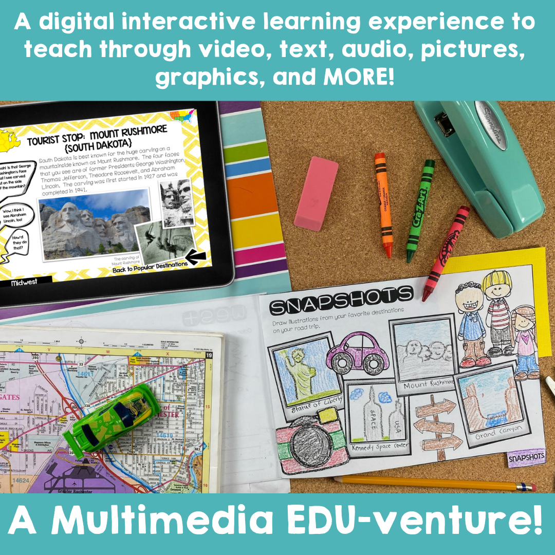
Take your students on an exciting virtual road trip through the five regions of the United States with our digital LINKtivity® Interactive Learning guide! Our interactive guide offers a fun and engaging way for students to explore each region's climate, landforms, bodies of water, and popular tourist destinations.
Take your students on an exciting virtual road trip through the five regions of the United States with our digital LINKtivity® Interactive Learning guide! Our interactive guide offers a fun and engaging way for students to explore each region's climate, landforms, bodies of water, and popular tourist destinations.
Take your students on an exciting virtual road trip through the five regions of the United States with our digital LINKtivity® Interactive Learning guide! Our interactive guide offers a fun and engaging way for students to explore each region's climate, landforms, bodies of water, and popular tourist destinations.
Tired of depending on uninspiring and outdated textbooks and worksheets to teach your upper elementary students? I get it. I’ve been there. However, let's be honest—planning captivating and interactive lessons requires hours of effort, not to mention the energy drain! You deserve to feel like the exceptional teacher you already are without sacrificing your nights and weekends!
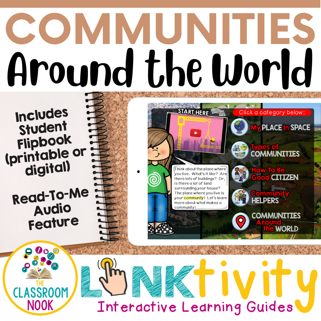
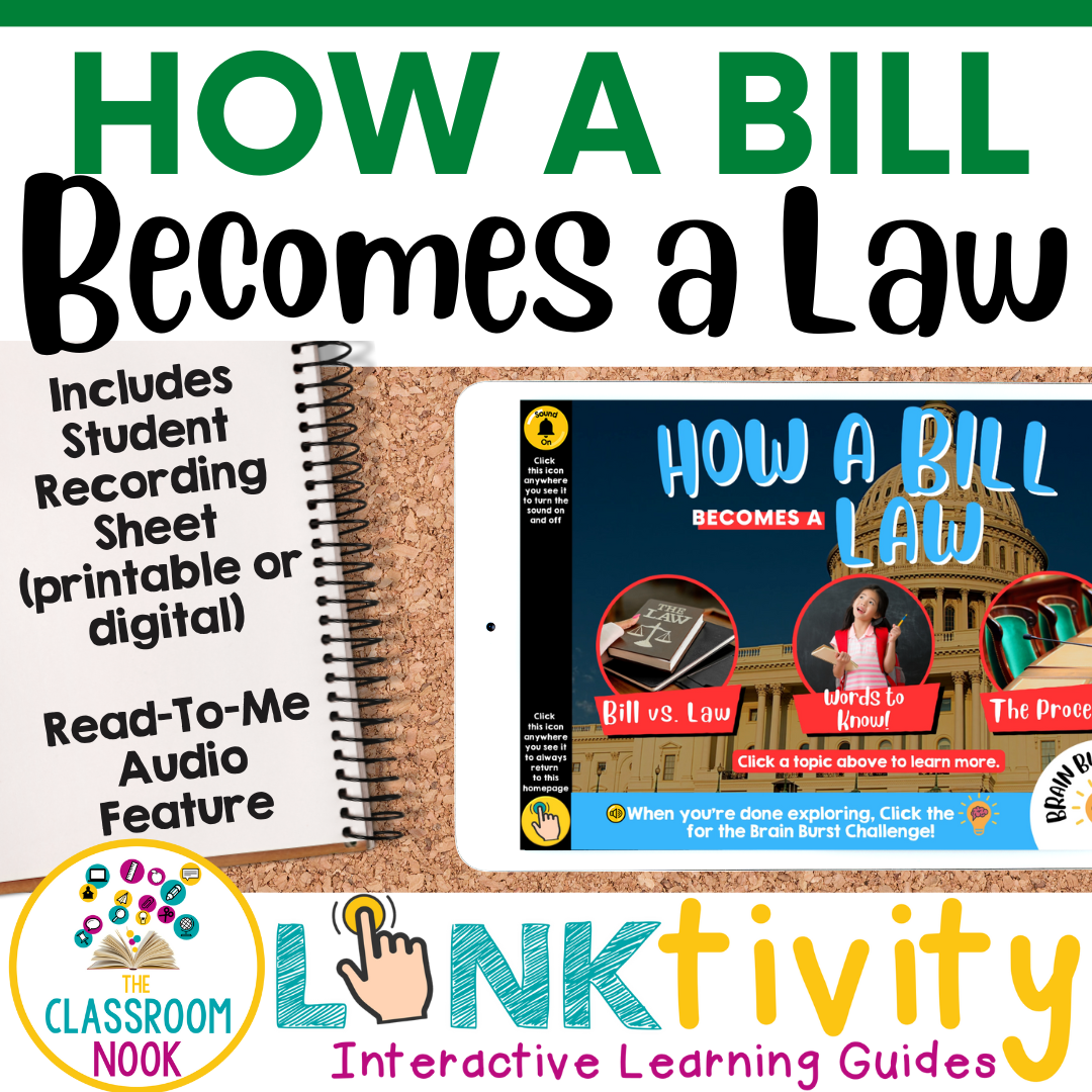
Introducing: LINKtivities - your solution to easy engagement and learning that feels more like exploring! Through LINKtivities, students are put in the driver’s seat. They learn at their own pace as they click their way through a kid-friendly digital learning guide showcasing images, videos, and kid-friendly websites - a multimedia EDU-venture!
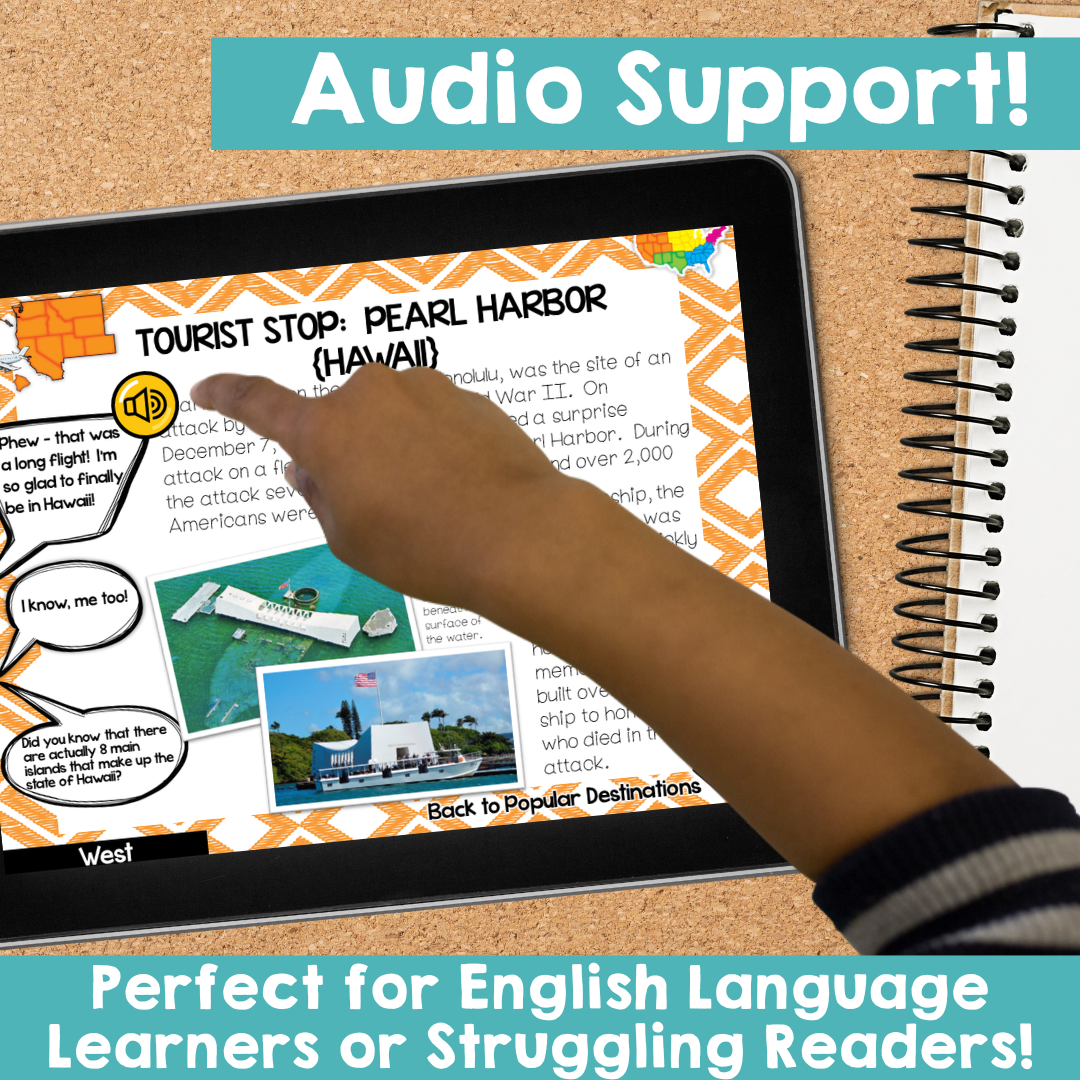
Our US Regions digital LINKtivity® is designed with diverse learners in mind, featuring user-friendly navigation and audio support that reads text to students, making it perfect for struggling readers and English language learners. Get ready for a fun and interactive learning experience! With a variety of multimedia features, including images, videos, photographs, and Google Earth, students can fully immerse themselves in the unique features of the Northeast, Southeast, Midwest, Southwest, and West.
FOR EACH REGION STUDENTS WILL LEARN:
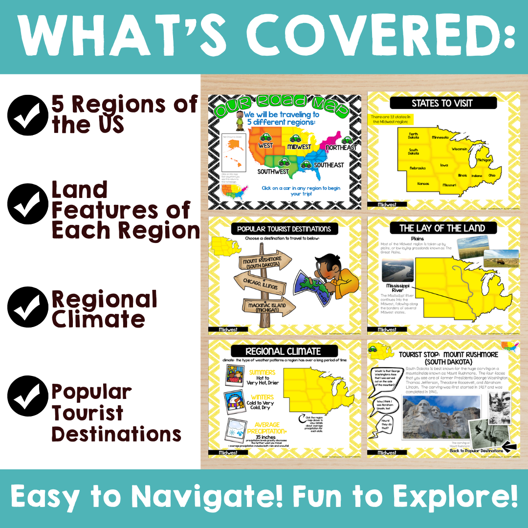
the states located in the region (and their location on a map)
the average climate of that region
the lay of the land (includes a map showcasing regional landforms and bodies of water)
several selected cities and landmarks of that region (3 destinations per region)
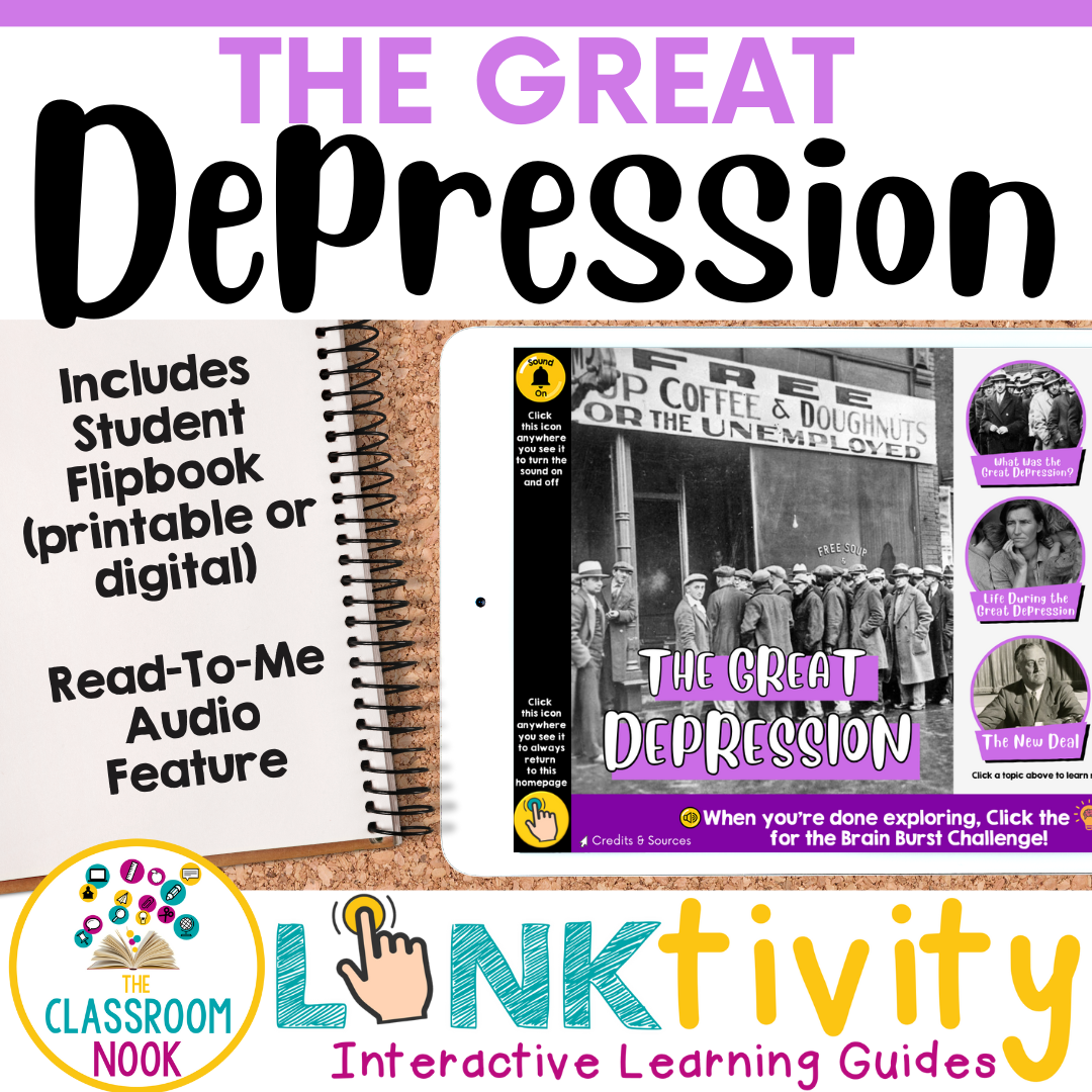
In addition, while using the LINKtivity, students will complete a flipbook (printable or digital) to highlight the information that they learned in the guide.
The LINKtivity® can be used as a whole class by projecting the digital guide on a SMARTBoard or white board, in small groups gathered around a single device or even as individuals by using personal tablets, iPads, chrome books...etc.
HERE'S WHAT IS INCLUDED:
A user-friendly teacher guide with all links and downloads accessible directly from the guide.
An easy-to-use LINKtivity® Interactive Learning Guide (accessible in any internet browser)
A student flipbook (printable & digital versions available!) to authentically showcase learning
An answer key
A kid-friendly rubric for student guidance and easy assessment
WHAT OTHER TEACHERS ARE SAYING:
LINKtivities are a unique 21st century learning tool that will engage your learners and leave them wanting more! But, you don’t have to take my word for it! Here’s what other teachers are saying about LINKtivities:
Gina C. says...
⭐⭐⭐⭐⭐ I absolutely love Linktivities. It makes teaching this topic easy and engaging. I like to use them whole group. There are times I have left them in Canvas when I have a sub. Animal Adaptations aligned nicely with our Florida StandardsThis was a fantastic resource! Very well made and was exactly what I was looking for! The students were very engaged! Thank you so much for all of your hard work! Definitely happy with my purchase and plan to use it again next year!
Kathryn W. says...
⭐⭐⭐⭐⭐ I love the Linktivity resources. This allows for independent work and my students love learning about the different features on their own.
⭐⭐⭐⭐⭐ I absolutely love these products and enjoy using all the link activities. They are so bright and engaging for my students to follow along and create great discussions.
THERE’S A WHOLE LOT MORE WHERE THAT CAME FROM!
Did you know that for about the same price as a single LINKtivity, you can get access to our ENTIRE library of LINKtivities in an all-inclusive subscription option?
INTRODUCING: LINKtivity Learning – your all-access pass to endless engagement. Inside the LINKtivity Learning subscription library, you’ll have instant access to each and every LINKtivity we create PLUS immediate access to all future LINKtivites. We add new LINKtivities each month and our members get them ALL!
Copyright © The Classroom Nook.
All rights reserved by the author.
Permission for single classroom use only.
Not for public display.
Please purchase additional licenses if you intend to share this product.

